On April 29, the official presentation session of the new high-resolution LiDAR survey of mainland Portugal took place at the auditorium of the Directorate-General for Territory (DGT), in Lisbon. The event was attended by the Secretary of State for Local Administration and Territorial Planning, Silvério Regalado, and the Director-General for Territory, Fernanda do Carmo, and brought together experts from various fields who demonstrated the wide range of applications of LiDAR data.
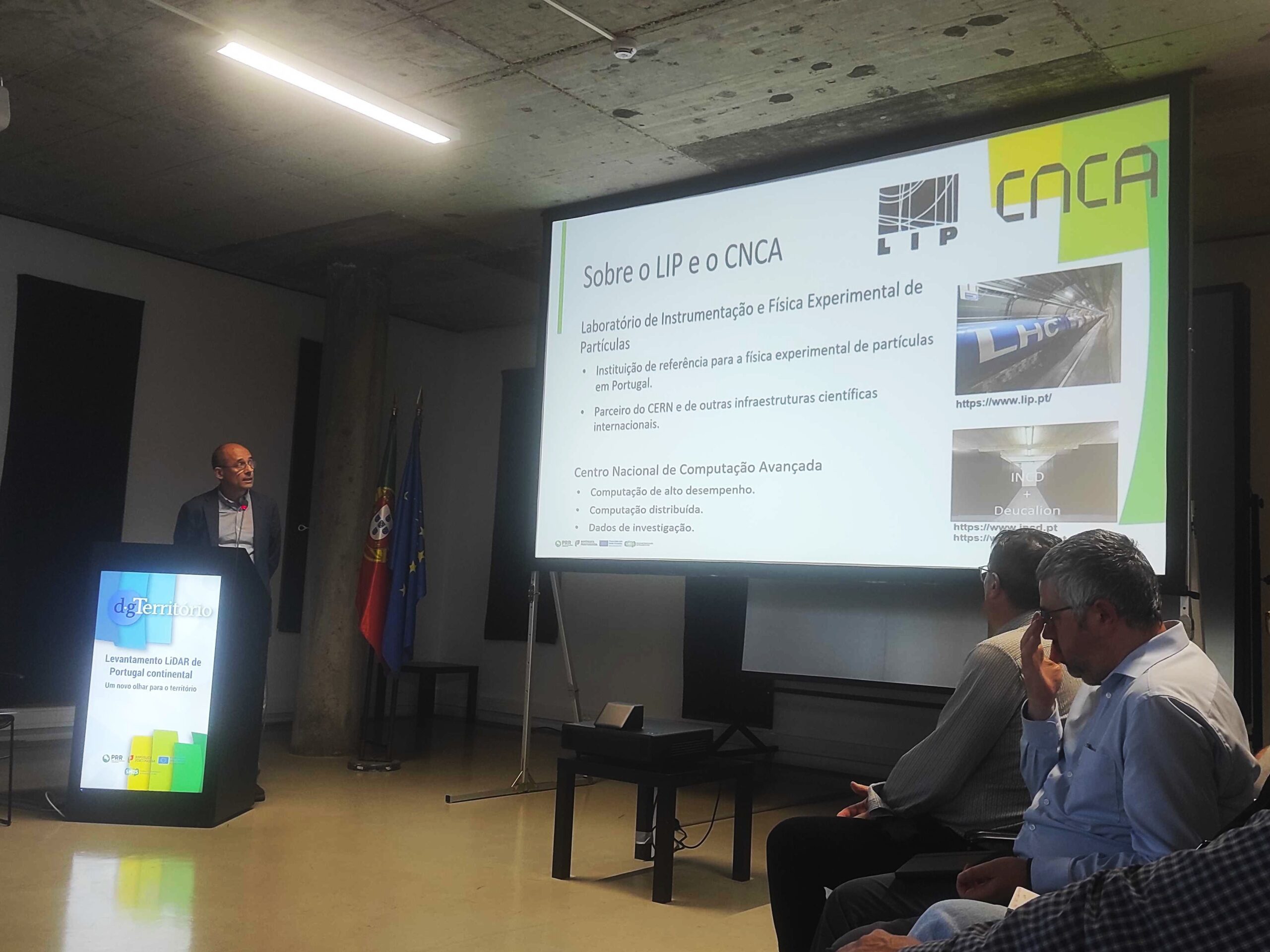
The Laboratory of Instrumentation and Particle Physics (LIP) and the National Advanced Computing Centre (CNCA) are involved in this project through LIP’s Distributed Computing and Digital Infrastructures group, contributing to the development of the infrastructure for publishing, 3D visualization, and exploration of the collected LiDAR data. Jorge Gomes, coordinator of the LIP computing group and of CNCA, presented the technical approach for data access at the event, including APIs, web interfaces, and international standards such as those of the Open Geospatial Consortium (OGC).
This project is part of component C08-Forests of the Recovery and Resilience Plan (PRR) and aims to create a high-precision altimetric database, with cross-sectoral applications. In addition to the storage and access to LiDAR data, LIP is also collaborating on other complementary workstreams with DGT, namely in the processing of Sentinel-2 satellite images and the production of current and experimental cartography within the scope of the Land Use Monitoring System (SMOS).
The session also included a roundtable with experts from academia and public institutions who presented preliminary applications of the LiDAR data in areas such as archaeology, forest management, geomorphology, territorial planning, and environmental monitoring.
The now-completed airborne LiDAR survey represents an important step in the detailed understanding of the national territory and reinforces LIP’s role as a strategic partner in digitalisation and intelligent management of geospatial data projects.